GSP Terminal Expansion LiDAR and GIS
01 Project Scope:
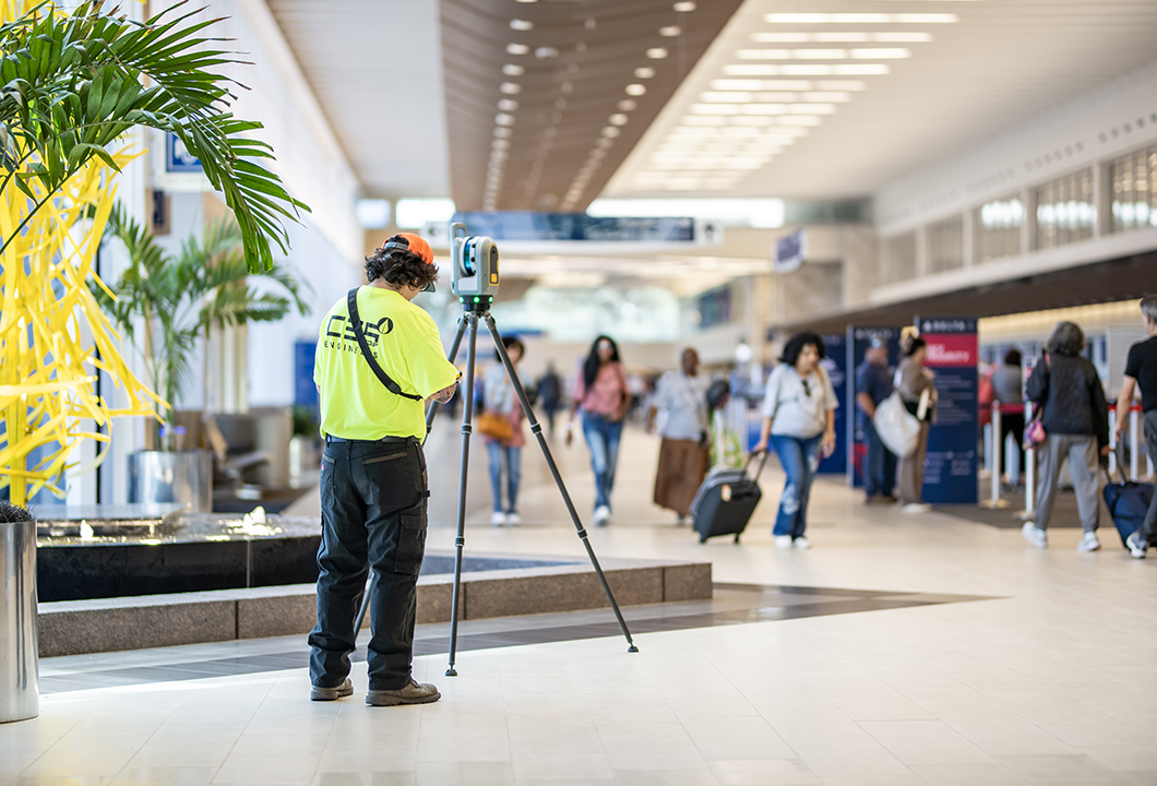
The team captured over 300,000 square feet of data using terrestrial laser scanning to generate high-resolution 3D point clouds and GIS-compatible datasets. CES scanned architectural, structural, and MEP systems throughout active and secure terminal zones. The processed data was used to create georeferenced models, 3D meshes, and mapping layers to support design coordination, clash detection, and construction planning.
02 The Challenge:
Capturing accurate data in a 24/7 operational airport required close coordination with GSP staff, TSA, Delta Airlines, and other stakeholders. CES had to work around limited access windows, including weekend fieldwork to avoid disrupting administrative spaces. Coordinating multiple subconsultants, one for scanning and modeling, and another for ceiling tile removal, required careful logistical planning. Performing control surveys across four floor levels added further complexity.
03 The Result:
CES delivered a complete and accurate digital model that provided architects and engineers with a reliable foundation for expansion design. By minimizing impact to airport operations and ensuring data precision, CES helped reduce design risk and improve planning efficiency. The team’s proactive coordination, innovative use of technology, and commitment to client schedules exemplified their ability to deliver high-impact results in complex environments.