CityLYNX Gold Line Phase III Streetcar
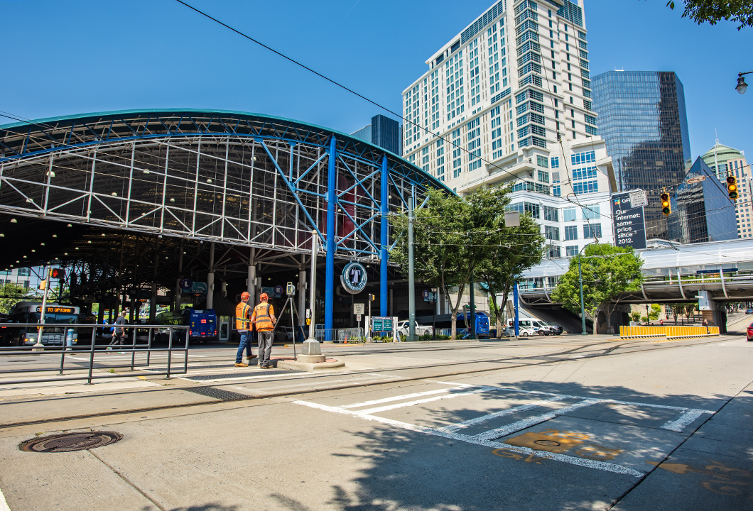
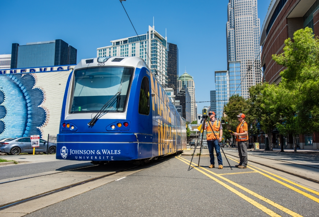
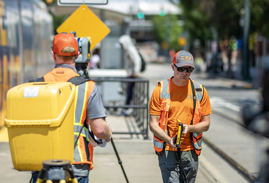
CES Group Engineers provided land surveying services for the 6-mile extension of the CityLYNX Gold Line. The project included survey control, topographic and planimetric mapping, and integration with existing survey benchmarks established during Phase II.
01 Project Scope:
Working in coordination with Avioimage, CES utilized aerial photography and LiDAR to generate 1-foot contour mapping and develop comprehensive Survey Control Sheets to guide future design and construction activities. The survey effort followed NCDOT Location & Surveys standards, ensuring alignment accuracy for upcoming track installations.
02 The Challenge:
The project required seamless integration with previous survey data to ensure new infrastructure aligned precisely with existing track locations. CES needed to maintain high levels of accuracy while covering a complex urban corridor that spanned six miles. The aerial survey work had to be synchronized with ground control to ensure consistent results across all data sources.
03 The Result:
CES delivered precise, reliable survey control and mapping that supported design alignment and construction coordination for Phase III. Their accurate integration of existing and new survey data ensured continuity throughout the corridor, helping reduce errors and construction risk. The resulting deliverables laid the groundwork for successful extension of Charlotte’s streetcar network, supporting improved connectivity and future transit development.